Rock Alley Slope
The Rock Alley Slope is in a triangle of land bordered by Lawn Street, Forbes Avenue, and Interstate 376 (see image of the Proposed Rock Alley Path). At the turn of the last century, this piece of land was home to more than 100 families and was divided by three streets: Maurice Street, Cornet Street, and Rock Way. Historically, this slope was home to some of the poorest workers in Pittsburgh who lived in horrible conditions. After a poignant report on the area dated 1914, the residents were relocated and all but one of the homes on this slope were torn down, leaving the slope to reforest.
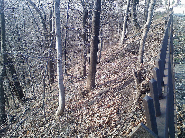
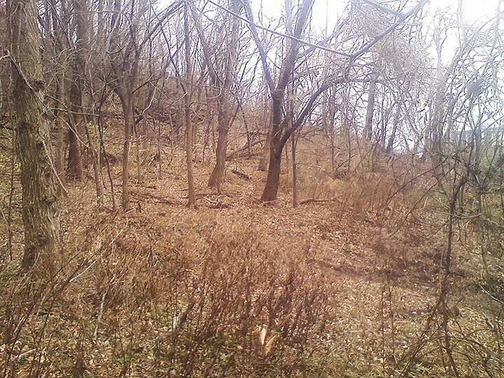
Top of the Rock Alley Slope – Looking West
This image of the Rock Alley Slope, looking west along Lawn Street to the intersection of Forbes Avenue, shows the angle of the top of the slope, the current state of the overgrowth, and the historic iron fence on Lawn Street. Early in 2011, the Rock Alley Slope was named a part of the Oakland Greenway. During the summer of 2011, more than one hundred community members participated in clearing over 15 tons of debris that had been dumped on the slope over the last 100 years. Part of this work involved clearing the underbrush, as shown.
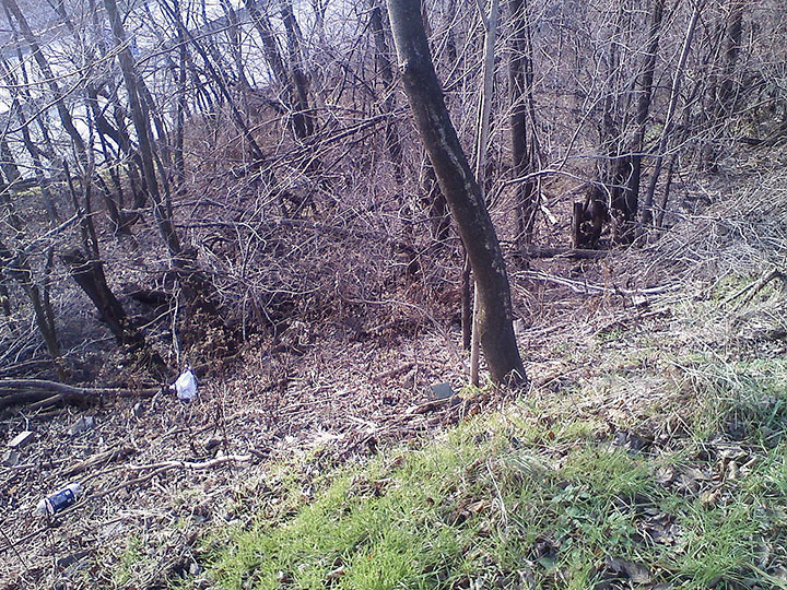
View from Lawn Street down to Interstate 376
This image shows the steepness of the slope down to Interstate 376 below. To build the walking path at a reasonable pitch for pedestrians and cyclists, this trail will need to have at least two switchbacks and extend more than a quarter of a mile in length. This will allow the trail to maintain the recommended slope of no more than 6 foot of climb per every 100 foot of path. The total elevation change from Lawn Street to the existing tunnel that passes under Interstate 376 is about 80 vertical feet. Seen here is an example of the denseness of the underbrush in areas that have not been cleared.
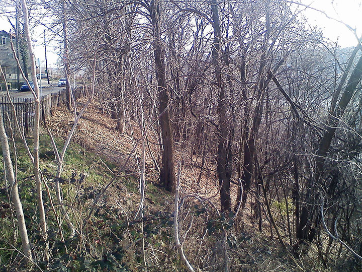
Top of the Rock Alley Slope – Looking East
Here is the Rock Alley Slope as viewed from Forbes Avenue looking east along Lawn Street. Just visible through the trees is Interstate 376, and the river beyond. Before the pedestrian and bicycle path is built through this land, a careful assessment will need to be made to determine the best location to lay the path to keep as many mature trees as possible.
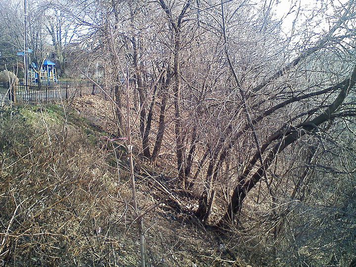
View along Lawn Street to the Lawn and Ophelia Parklet
Looking east across Lawn Street from the Rock Alley Slope is the Lawn and Ophelia Parklet, at the intersection of Lawn and Ophelia Streets. The area adjacent to the Rock Alley Slope is residential, and without this bike and pedestrian connector, there is no direct way to reach the Pittsburgh Technology Center below. Only a few blocks up Forbes Avenue is the Oakland business district. Once this curved path and staircase is constructed, there will be a direct connection between Forbes Avenue and Second Avenue.
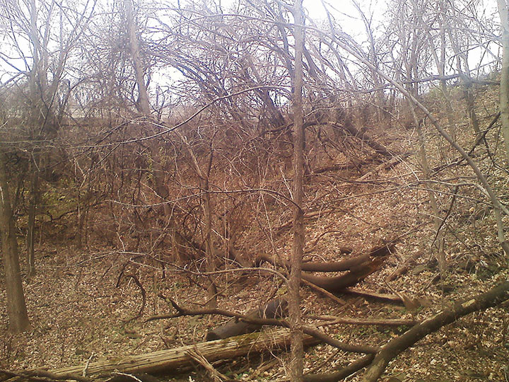
View up the Rock Alley Slope to Lawn Street
This is the view up the Rock Alley Slope to Lawn Street. The proposed pedestrian and cycling path will begin on the slope to the upper right and will be cut into the hillside crossing this land. Viewed in the distance to the right of this image is one of the buildings that make up the Pittsburgh Technology Center across Interstate 376 and Second Avenue.
View up the Rock Alley Slope to Forbes Avenue
This is the view up the Rock Alley Slope to the intersection of Lawn Street and Forbes Avenue. Historically, this was also the intersection of Maurice Street. The top of this slope has been made steeper than it was at the time that Maurice Street was in use by the back-filling needed to flatten out the connection between Forbes Avenue and Lawn Street. Although there is clearly no roadway present, this land has not been vacated by the city and is still technically a paper street.
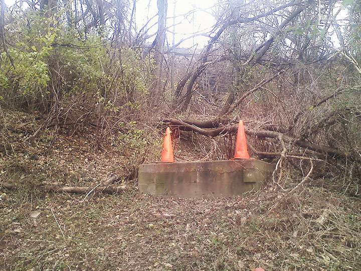
Easements on Paper Streets
Although Maurice Street is no longer a maintained roadway in Pittsburgh, this land is still active in many ways. One of the challenges of building the pedestrian and bicycle path connector along the Rock Alley Slope will be working around the existing electrical, water, sewer, and telephone easements that are still in place in this area. Pictured here is a raised concrete enclosure for a manhole cover.
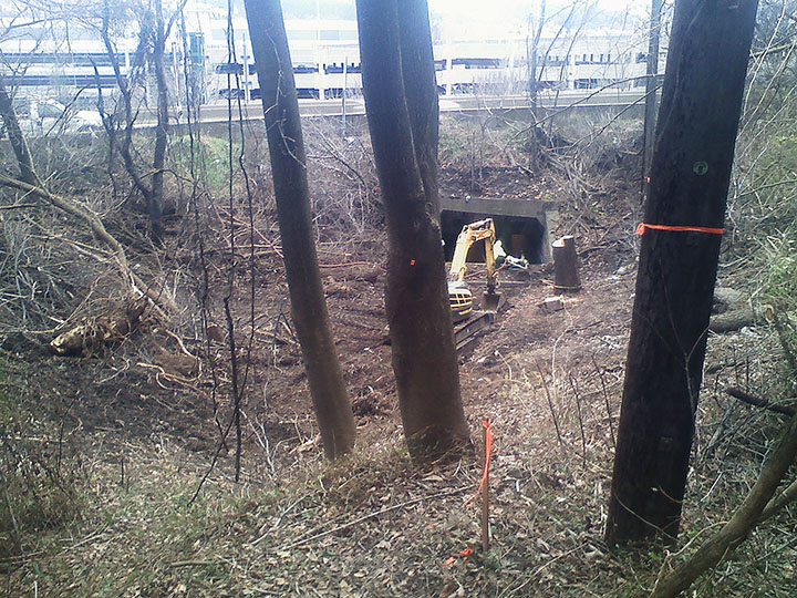
Electrical Easement for Pedestrian Tunnel under Interstate 376
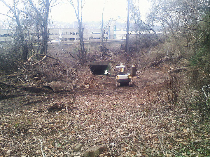
After the Rock Alley land was cleared by the Oakcliffe community during the summer of 2011, a survey was planned of every major tree and shrub on the slope. One of the major challenges of coordinating this project is the number of separate organizations who also have interest in this land. Although the Oakcliffe Housing Committee was given stewardship of this land to maintain as a green space, Duquesne Light has a historical easement from the City of Pittsburgh to clear-cut the land if necessary to maintain their underground power lines. In this image, Duquesne Light is servicing the power lines that run beneath the pedestrian tunnel under Interstate 376.
Also note the utility truck pictured in the upper left of this image on an Interstate 376 turnout. As part of the development of this land as a Greenway, there will need to be fences installed along the side of this turnout to prevent the continued use of this location as a dump site.
Lack of Communication between Groups Using the Rock Alley Slope
As pictured below, Duquesne Light has installed electrical power conduits in the pedestrian tunnel under Interstate 376 that will partially block this tunnel’s use. The Oakcliffe Housing Commetee was never informed of this work, and it is possible that the Pittsburgh City Council who declared this area a Greenway was not aware of this easement, either. It has become clear in the development of the Rock Alley project that there are structural problems in the way that the City of Pittsburgh, the Pennsylvania Department of Transportation (PennDOT), and the Pittsburgh utility companies share information. In working on this project, we hope to clarify these relationships for future Oakland development endeavors that will involve these three groups.
Also pictured here is the parking structure for the Pittsburgh Technology Center across Interstate 376. One idea is that Oakland residents could access and cooperatively use this parking structure as a way to ease some of the parking issues in the Oakcliffe housing area.
