Panther Hollow Trail
Traveling from the direction of the Magee-Womens Hospital, there are few good options to ride east in Oakland. There is currently only one passably good route from Oakland to the Eliza Furnace Trail, and even this is a challenging ride.
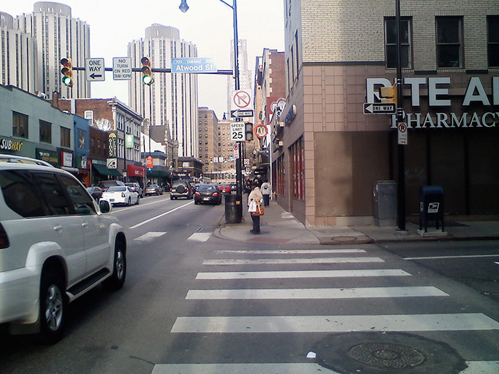
Route along Forbes Avenue
Attempting to ride a bike along Forbes Avenue, either on the street or on the sidewalk, is dangerous and often impassable. In most cases, it would be a better choice to walk your bike along this part of the route.
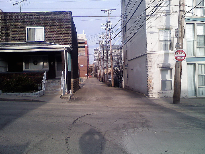
Proposed Route along Euler Way
It has been suggested that riders use a route parallel to Forbes Avenue to avoid this busy street. One route that has been suggested is Euler Way. Euler Way is a dumpster lined alley, and is a bad choice for many reasons. One problem is that it terminates short of Bouquet Street, the connector street to the bike path. Another problem is that it has many blind intersecting streets. A third problem is that it is currently one-way, and a traveler going east would need to ride against traffic on a street with no sidewalk. There is another similar route parallel to Forbes Ave, which is a single lane, one-way alley leading into a parking lot, which terminates at the Pitt campus, where riders can illegally cut through to the Schenley Plaza.
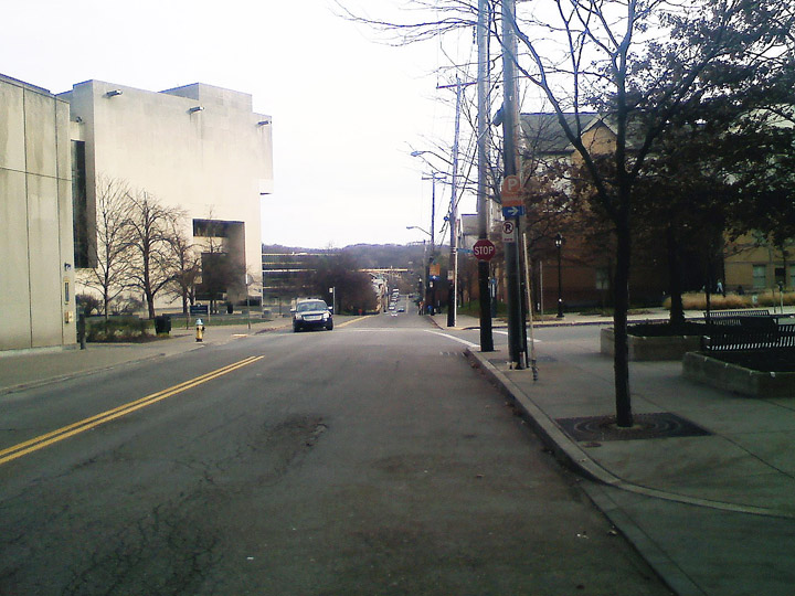
Forbes Avenue to Bouquet Street
Finally reaching Bouquet Street, the traveler is fairly unobstructed except for a couple of stop signs. A recommendation that many bicyclists have had is to put a bike lane along Bouquet Street, which would clarify this bike route and improve rider safety. Bouquet Street is wide enough to accommodate a bike lane from Forbes Avenue down to the turn onto the Panther Hollow Trail at Joncaire Street.
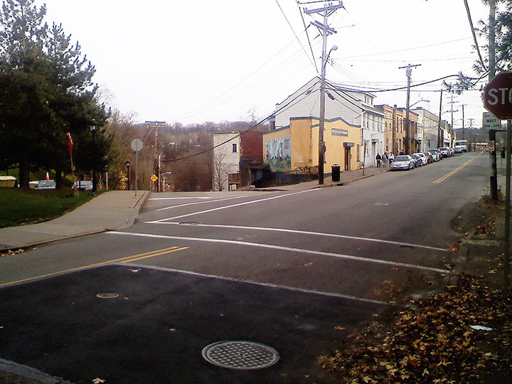
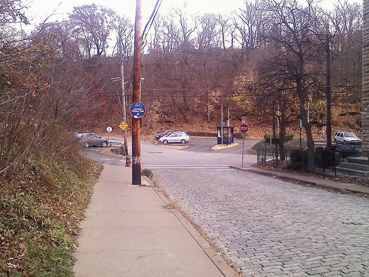
Turning onto Joncaire Street
The turn from Bouquet Street onto Joncaire Street is unobstructed, since there are stop signs in both directions. It would be useful if the bike path along Bouquet Street indicated the turn onto Joncaire Street, as there are currently no signs marking this connector.
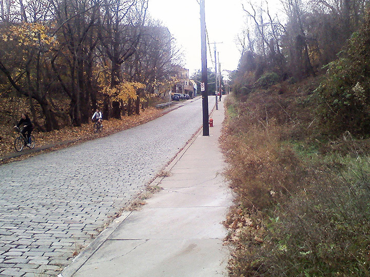
View up Joncaire Street
Unfortunately Joncaire Street itself is a quarter-mile stretch that is dangerous to travel by bicycle. The street itself is paved in deteriorating cobblestones, making travel even with a fully suspended mountain bike an unpleasant experience. Residents of this street do not want Joncaire paved because of the traffic-slowing effect that this rough paving provides. This means that bicyclists are left to travel on the sidewalks. The sidewalks on either side of Joncaire are narrow and frequently obstructed by telephone poles, cars that park on the sidewalk, and broken and uneven pieces of concrete. The riders pictured on the south sidewalk are risking riding on the slippery fall leaves.
There are two recommendations for making Joncaire Street more bicycle friendly. One option is to widen the sidewalk on the north side of Joncaire Street to make the telephone poles less of an obstacle. A large portion of this sidewalk travels along vacant lots and much of the remainder travels along a mowed lawn. The sidewalk on the north side of Joncaire could be widened without any major demolition work needed, only landscaping and paving once the property rights are obtained.
The other approach is to pave a four foot wide bike path on both the north and south side of Joncaire Street. This would allow cyclists comfortable travel along this connector and would still slow the speed of traffic, since cars would travel with two wheels on the cobblestones. The advantage of this solution is that there would be no issues with property rights.
From Joncaire Street to Boundary Street
The first indication of where the bicycle trail begins is at the foot of Joncaire Street. Although motorists do have stop signs in all directions, it would be useful to have additional signs indicating caution for cyclists, as well as bicycle lanes. These bike lanes could continue from Joncaire Street onto Boundary Street.
Curve on Boundary Street
Although Boundary Street is largely safe for cyclists, it would be useful if there were signage indicating to riders that they are biking against the direction of traffic.
Boundary Street to the Panther Hollow Trail
This stretch is wide, clear, and well maintained.
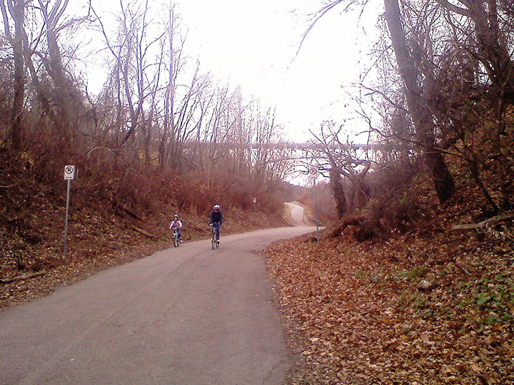
Panther Hollow Trail
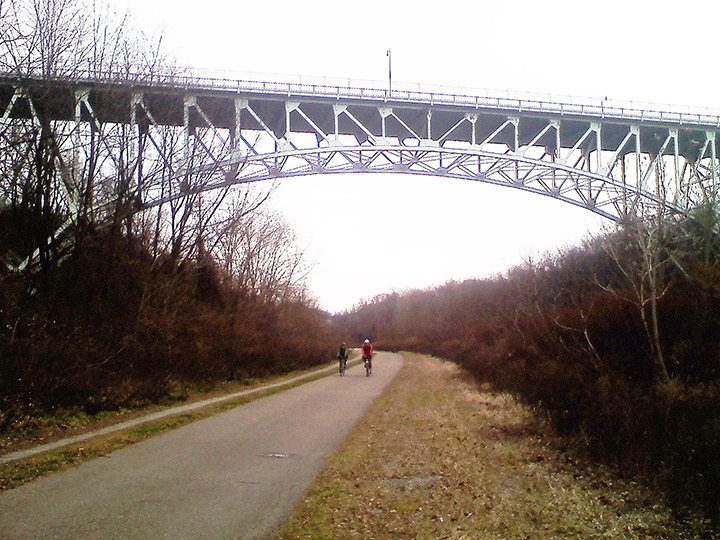
The Panther Hollow Trail is wide, clear, and picturesque for its full half-mile.
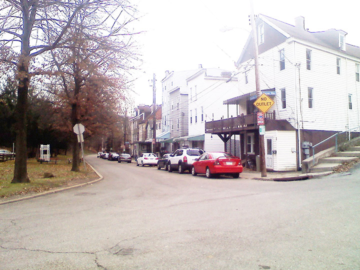
Panther Hollow Trail onto Saline Street
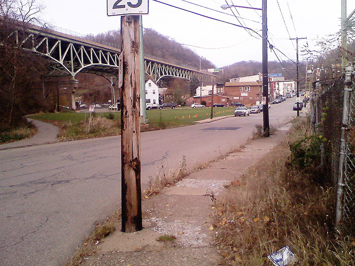
The connection from the Panther Hollow Trail onto Saline Street is awkward. The trail itself is unclear and tapers off into a narrow sidewalk, as pictured to the left of this image. Most cyclists choose not to ride on the path at this point and instead choose to bike directly on Saline Street, riding around the old little league field, shown here in the middle of the image.
Saline Street to Eliza Furnace Trail
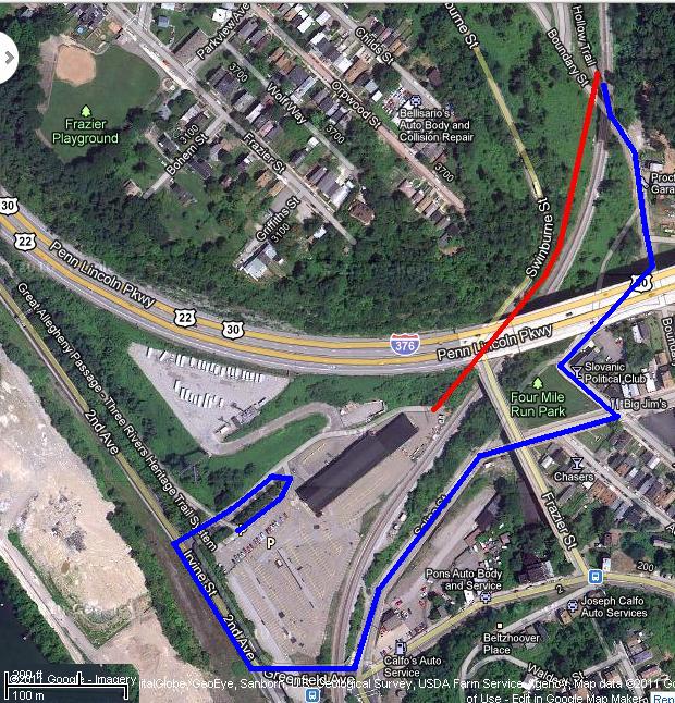
The connection from Saline Street to the Eliza Furnace Trail is where the word rigmarole was defined. It is clear that some creative soul came up with this solution to connect Saline Street to the trail-head, and we are glad that there is a cycle connector in this location at all. In time, there should be a way to connect from the Panther Hollow Trail directly to the Eliza Furnace Trail without the need to pass under the trail, along Second Avenue, and then back under the trail again. As complex as it is, and as out of the way as it is for many riders, this route remains the best way for many Oakland residents to reach the Eliza Furnace Trail.
When viewed from a satellite, it appears that there is a route to build a connector from the existing Panther Hollow Trail to the Eliza Furnace trail (drawn in Red). This path would pass under the existing bridges for Route 376 and Frazer Street, and avoid crossing the rail line twice. This path would only need to be 800 feet long, instead of the more complex half-mile connector currently in use (drawn in Blue).
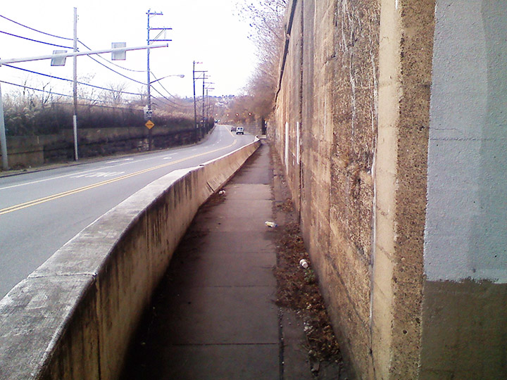
Entrance to the Second Avenue Causeway
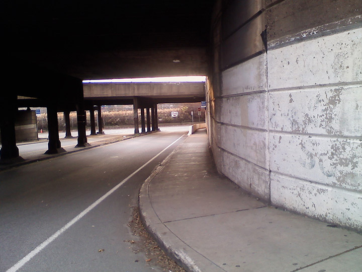
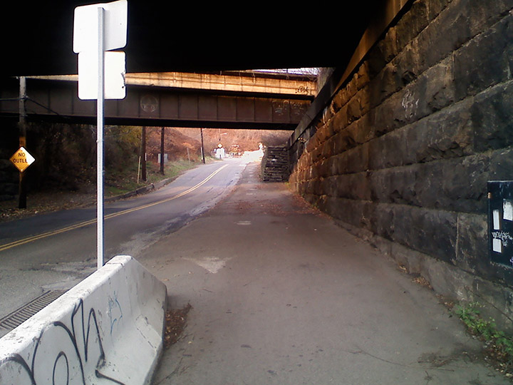
To get from Saline Street to the trail-head, a rider first needs to travel along a sidewalk under the railroad tracks and connect to a narrow causeway along Second Avenue.
Second Avenue Causeway
The causeway along Second Avenue is so narrow that bicyclists should be very careful at the blind corners at each end, and probably need to get off of their bikes to pass each other.
Up to the Trail-Head
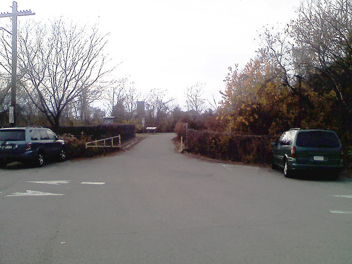
Exiting the causeway, a rider needs to climb a steep grade, either on a poor sidewalk or on the road, making a U-turn at the top to cross the parking lot to the trail-head.
Eliza Furnace Trail-Head
Crossing the parking lot, a rider can finally reach the Eliza Furnace Trail-Head. There is parking available at this location for recreational riders. It would be useful to poll how many riders use this trail-head parking area as a place to leave their cars so that they can bicycle the two-and-a-half miles along the Eliza Furnace Trail to Downtown Pittsburgh, or across the Hot Metal Bridge to the South Side.
