Comments Off
Comments Off
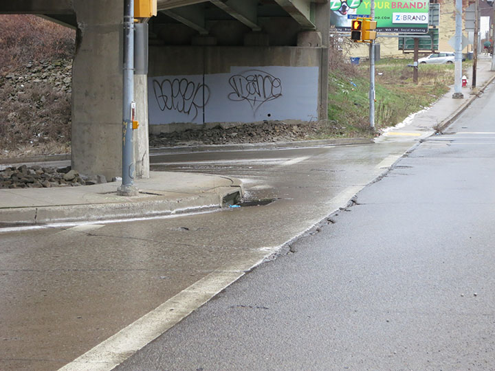
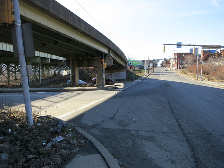
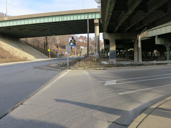
Misaligned Sidewalk at the Birmingham Bridge EntranceLooking across the Forbes Avenue entrance ramp to the Birmingham Bridge, one can see an almost identical set of problems as along the exit ramp:
|
|||
 |
|||
|
Comments Off
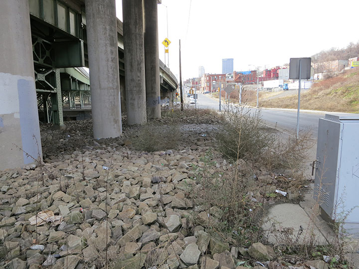
Space for a Bike Path along Forbes AvenueAs shown here under the Birmingham Bridge, there is enough unobstructed land for the sidewalk along Forbes Avenue to be widened to the specification ten foot width of a bicycle path. A path in this location would also align with the locations of the crosswalks across both the entry and the exit to the Birmingham Bridge. |
|||
 |
|||
|
Comments Off
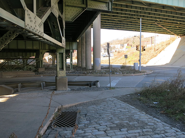
Missing Crosswalk on Forbes AvenueAt the bottom of the cobblestone area, the lower exit ramp for the Birmingham Bridge intersects Forbes Avenue. If cyclists have ridden on the pedestrian path, there are several problems they face:
|
|||
 |
|||
|
Comments Off
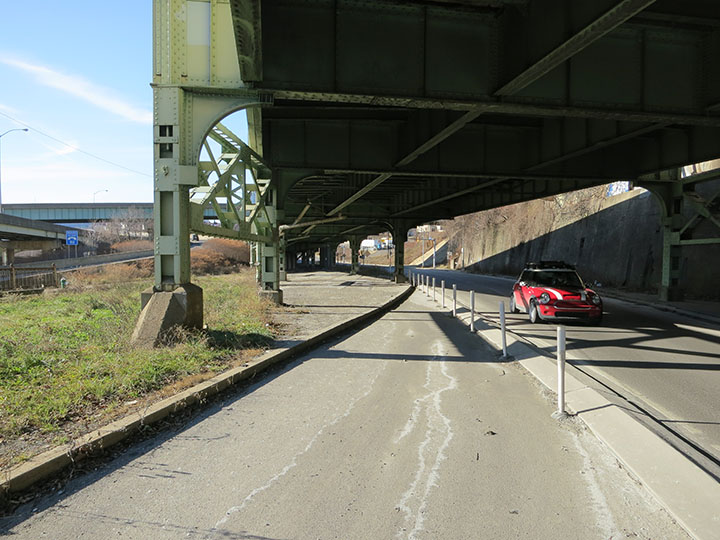
Curb Cut Needed on Forbes AvenueAt the bottom of the unused lane on Forbes Avenue, the street merges with the eastbound travel lane. At this juncture, cyclists either need to lift their bicycles onto the curb and ride across the cobblestone area under the bridge, or to ride between the white pylons and travel against traffic on Forbes Avenue. There should be a curb cut installed at the bottom of this lane to allow cyclists to bike up onto this paved area and not into traffic. Ideally, when this curb cut is made, a bicycle lane could be paved over the existing cobblestones. |
|||
 |
|||
|
Comments Off
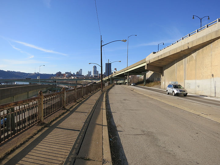
Unused Pedestrian Lane on Forbes AvenueOnce a pedestrian crosses the Interstate 376 exit ramp, there is a safe and clear passage down Forbes Avenue along the sidewalk. This sidewalk is wide enough for pedestrians, although it is uncomfortably narrow for cyclists. A better choice for cyclists is to ride on the unused lane of Forbes Avenue. This lane is technically a route for emergency vehicles traveling east on Forbes Avenue, although it is almost never used. This lane could possibly be designated as a bicycle path with the appropriate warning signs. If this reclassification is not possible, there is enough space to narrow the median to the travel lane and widen the sidewalk. Further down on Forbes Avenue, there is enough land for a bicycle path on the grassy median to the left of this emergency lane. |
|||
 |
|||
|
Comments Off
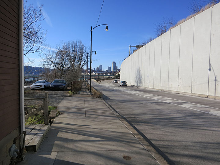
Proposed Improved Crossing on Forbes AvenueOne way to improve the safety of this Forbes Avenue crossing may be to increase the line of sight of the motorists coming off of the Interstate 376 ramp. From this vantage point further up on Forbes Avenue, one can see the potential of placing the pedestrian crossing further away from the ramp and having pedestrians walk in the median. A study would need to be done to evaluate the relative safety of this solution. |
|||
 |
|||
|
Comments Off
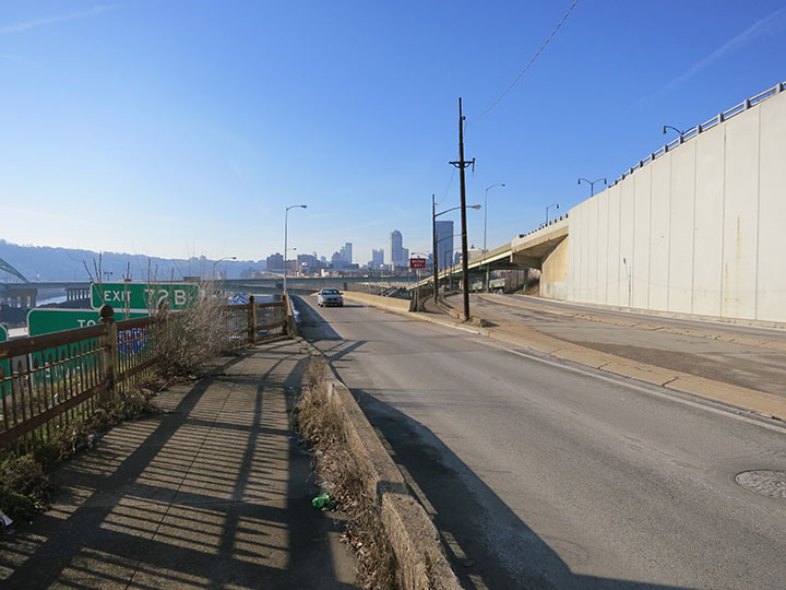
Pedestrian Crossing at Forbes AvenueIn order for Oakland residents to reach Brady Street from Forbes Avenue, they must cross the Interstate 376 exit ramp. Cars typically exit from Interstate 376 at over 50 miles per hour, and the drivers’ line of sight to this pedestrian crossing is too short to slow down from this speed. Even though this is the only crossing available, it is not an official City of Pittsburgh pedestrian crosswalk. To make this a safe crosswalk, the speed of cars exiting Interstate 376 will need to be reduced. There are several well-understood solutions that should be implemented to reduce the speed of motorists, including warning signs, crosswalk markings, and most importantly, rumble strips. Having rumble strips installed will require community support, as there may be a noise issue for nearby homes. A noise study may be needed to further assess this solution. |
|||
 |
|||
|
Comments Off
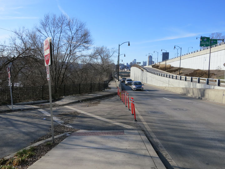
View Down Forbes AvenueTraveling west on Forbes Avenue, the wide and clear sidewalk continues, connecting to Brady Street about 1200 feet below. This sidewalk has been recently installed with a modern cement barrier and a new metal fence. Unfortunately, this sidewalk is not wide enough to fall under the City of Pittsburgh’s specification for a bicycle path. It would be possible to widen this path by extending the sidewalk over the Rock Alley slope, although the width of the sidewalk is the least significant of the issues that need to be addressed for this path to be complete. The wooded area on the left of this picture is the Rock Alley slope. The location of the crosswalk in this picture is approximately in the historic location of Maurice Street, which went down the slope and connected with the Rock Alley tunnel that passes under Interstate 376. |
|||
 |
|||
|
Comments Off
